Public Health Data Handling, Analysis and Visualisation using Spatial Science
Tutorial Topic
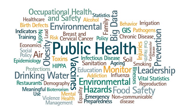
The past century has seen an unprecedented burden of infectious, chronic and vector-borne diseases that threaten the public and global health. There are also direct implications on wildlife populations. Understanding the spatial processes and temporal dynamics are important for guiding policy informed decisions. Policymakers, public health officials, and academic researchers are key stakeholders in the fight against diseases. For instance, the recent COVID-19 pandemic has generated tremendous amount of data which is of prime importance. The availability of spatial tools with analytical & visualization capability provided meaningful insights in handling public health data for scientific understanding of disease trends and patterns. Hence, there is a clear need of simple one-stop solution that is backed by reliable data source.
In this tutorial, we focus on techniques and spatial tools for (i) optimal data collection on disease occurrence and surveillance through citizen-centric approach, (ii) machine learning based statistical modelling tools for active surveillance, and (iii) analysing the spatial complexity of diseases through visualization support.
Short Profile & Affiliation of Instructors

DR.Sameer Saran
Geoinformatics Department, Indian Institute of Remote Sensing, Dehradun, INDIA
ISPRS Chair, WG IV/10
Dr. Sameer Saran is a Senior Scientist and Head, Geoinformatics Department at Indian Institute of Remote Sensing (ISRO). He is currently serving as Deputy General Secretary of AARS representing India. He has also served as Co-Chair for ISPRS TC V/3 working group on Geospatial Technology and Citizen Science for the year 2016-22. His interest is Web GIS, spatial database & modelling, citizen science, 3D city modelling & geo-health.

Dr.Frank B Osei
Faculty of Geo-Information Science & Earth Observation, University of Twente, The NL
ISPRS Co-Chair, WG IV/10 Dr. F. B. Osei is a Faculty of Geo-Information Science and Earth Observation (ITC) in Department of Earth Observation Science (EOS), University of Twente, the Netherlands. He is editorial member of Spatial Statistics, Int. J. of Statistics in Medical Research, Geospatial Health, etc. His research interests are in GIS, geo-health, social sciences, life sciences, earth and environmental sciences.

Dr. Dilek KOC-SAN
Department of Urban and Regional Planning, Akdeniz University, TURKEY
ISPRS Co-Chair, WG IV/10
Dr. Dilek KOC-SAN is a
Faculty of Architecture in Department of Urban and Regional Planning, Akdeniz University. In 2009, she received PhD degree from Middle East Technical University, Dept. of Geodetic & Geographic Information Technologies. Her research interests are GIS, image classification & processing, automatic object extraction & multi-criteria decision analysis.

Dr. Priyanka Singh
School of Computer Sciences, University of Petroleum & Energy Studies, Dehradun, INDIA
ISPRS Secretary, WG IV/10 Dr. Priyanka Singh is a Faculty of Computer Science in University of Petroleum and Energy Studies, India. She received her PhD in Data Science from IIT(ISM) and IIRS (ISRO), India in 2019. She received international and national awards in field of spatial sciences. Her research interests are Applied machine learning, WebGIS, citizen science, predictive analytics, geo-health and spatial modelling and analytics.

