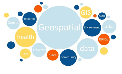
Geospatial Data Analytics for Physical Geography Impact Assessment on Environment, Health and Society Details
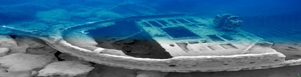
Underwater Mapping Workshop : Geospatial techniques for underwater documentation, mapping and monitoring Details
Smart Forests – Forest ecosystem assessment and monitoring using Remote Sensing, Artificial Intelligence, and Robotics Details
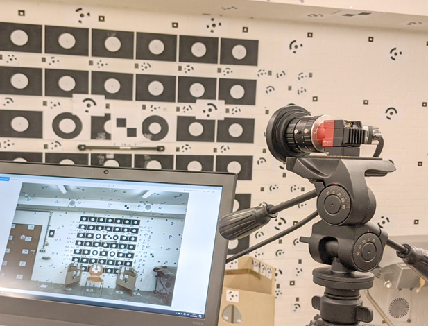
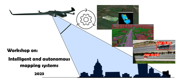
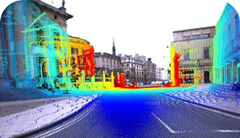
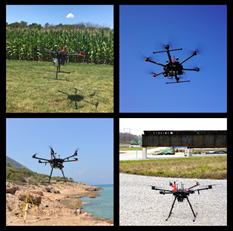
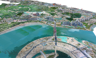
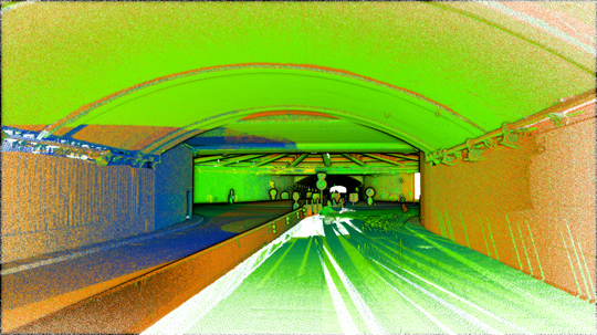
UAV-based mapping with imaging and LiDAR systems: challenges, data processing, and applications Details


