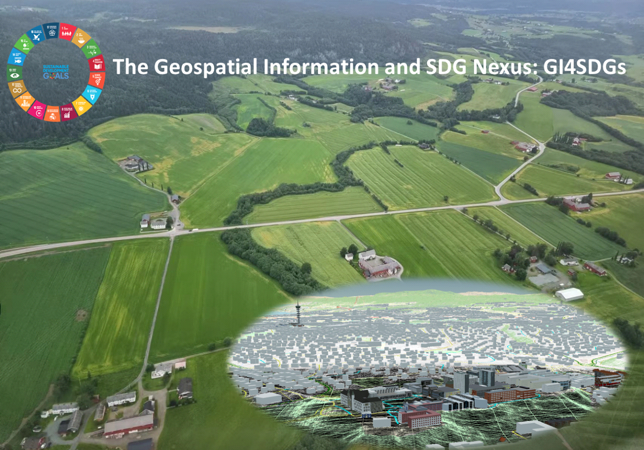
The Geospatial Information and SDG Nexus: GI4SDGs
In September 2015, the United Nations adopted “Transforming Our World: the 2030 Agenda for Sustainable Development” as a new ambitious global development plan with 17 Sustainable Development Goals (SDGs) and 169 targets. Recognizing the complex and diverse challenges the world is facing today, this agenda aims to end extreme poverty, fight inequality and injustice, and combat climate change. In order to ensure its successful implementation, the United Nations has been devoting to establishing a systematic follow-up and review of the progress towards SDGs at national, regional and global levels, through an indicator-based and data-driven monitoring approach.
Reliable and up-to-date geospatial data plays a fundamental role in the monitoring process, and the utilization of geospatial tools in SDGs monitoring has become a critical task for ISPRS and international geospatial communities. In the year 2019, ISPRS council has decided to set up a scientific program on “Geospatial Information-enabled SDGs Monitoring for the 2030 Agenda”, jointly with other international organizations. Its overreaching goal is to promote the best use of geospatial information in supporting SDGs monitoring and analysis through mobilizing and integrating all possible resources from ISPRS members and other stakeholders. The first ISPRS workshop on Geospatial Information for Sustainable Development Goals (GI4SDGs) was successfully organized in Changsha, China from Nov.19-20, 2019.
This second GI4SDGs workshop will provide an interdisciplinary platform to present the latest development and progress in the area of geospatial-enabled SDG monitoring and application. It will bring together people of different communities and disciplines, such as geomatics and remote sensing, environmental and urban studies, deep learning and service computing. Experts and users will present their novel and innovative methods to highlight successful case studies and to explore possible collaboration.
The workshop will concentrate on the following topics:
⦁ Opportunities and challenges of geospatial information-enabled SDGs;
⦁ SDGs monitoring examples with geospatial perspective;
⦁ Definition and modeling of geospatial essential variables for SDGs monitoring;
⦁ Algorithms and methods for deriving geospatial essential variables, e.g., machine learning, big data analytics, cloud computing and other technologies;
⦁ Global mapping initiatives and progresses at national and international levels;
⦁ Integrating crowd-sourced data and VGI with geospatial data for SDGs monitoring;
⦁ Developments and applications of geospatial knowledge service and collaborative platforms to meet SDGs assessment and monitoring;
⦁ Ethical use of geospatial data and SDGs
⦁ Other related topics.
The workshop plans to have the following four technical sessions:
⦁ Session 1: Assessing SDGs progress by integrating geospatial and statistical information
⦁ Session 2: Extracting Geospatial Information for SDGs
⦁ Session 3: Monitoring SDGs with geospatially essential variables
⦁ Session 4: ISPRS Scientific Program GI4SDGs: Progress and Collaboration
Workshop Chairs
Scientific Committee
⦁ Yifang Ban, KTH Royal Institute of Technology, Sweden
⦁ Maria Antonia Brovelli, Politecnico di Milano, Italy
⦁ Silvana Philippi Camboin, Universidade Federal do Paraná: Curitiba, Brazil
⦁ Jun Chen, National Geomatics Center of China, China
⦁ Laurent Durieux, GEO secretariat, France
⦁ Hongchao Fan, Norwegian University of Science and Technology, Germany
⦁ Gregory Giuliani, University of Geneva, Geneva, Switzerland
⦁ Songnian Li, Toronto Metropolitan University, Canada
⦁ Marguerite Madden, University of Georgia, USA
⦁ Lucy W. Mburu, College of Technology, KCA University, Kenya
⦁ Terje Midtbø, Norwegian University of Science and Technology, Norway
⦁ Jon Mills, Newcastle University, UK
⦁ Petros Patias, Aristotle University, Greece
⦁ Daniele Oxoli, Politecnico di Milano
⦁ Shu Peng, National Geomatics Center of China, China
⦁ Aurélie Sand, Centre National d’Etudes Spatiales, France
⦁ Hao Wu, National Geomatics Center of China, China
⦁ Alexander Zipf, Heidelberg University, Germany


