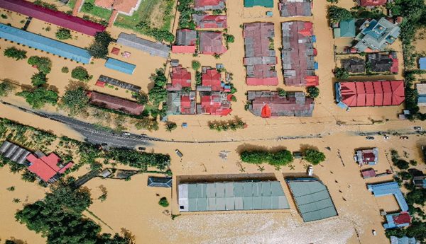
Satellite Remote Sensing and Its Applications
Satellite-based Remote Sensing plays a vital role in a wide spectrum of applications. In this workshop, we target areas related to advancing high-resolution and mid-resolution remote sensing data acquisition and sensor modeling combined with new data processing techniques for information extraction, including machine learning and deep learning. We are also interested in advances in Remote Sensing that help find solutions to modern human problems, including combating climate change and addressing sustainable development. We encourage participation from academia, space agencies, government stakeholders and industrial research and development leaders to share their latest technology and research developments related, but not limited, to the following themes.
CHAIRS
Themes of the event:
Satellite Photogrammetry
- Stereo/multi-view image-based 3D reconstruction
- Sensor modeling and calibration
- Off-nadir satellite image geometry and true orthorectification
- Application of Neural Radiance Fields (NeRF) in satellite photogrammetry
Urban Remote Sensing
- Thermal remote sensing and heat-loss assessment
- Machine/Deep learning for automatic data interpretation and analysis
- Urban area change detection and 2D/3D base map updating
- Disaster assessment, management, and mitigation
Image integration and data fusion
- Sensor fusion and multi-modal image processing
- LiDAR and Multispectral data integration
- Hyperspectral image processing and data fusion
- Optical-SAR image integration
Remote Sensing and sustainable environment
- Water Resources and Management
- Wastewater and solid waste monitoring
- Weather/atmosphere and climate change
- Forestry/agricultural and ecosystems/biodiversity
- Environmental health applications
- Coastal erosion and cryosphere
- Landuse/landcover mapping and monitoring using artificial intelligence
- Cloud-based image analysis and Google Earth Engine
Planetary Remote Sensing and Space Agencies program development
- Planetary Remote Sensing data processing and information extraction
- Cubesat-based earth observation missions
Scientific Committee:
- Orhan ALTAN, Istanbul Technical University
- Ammatzia Peled, University of Haifa
- Yun Zhang, University of New Brunswick
- Rongxing (Ron) Li, Tongji University
- Marco Scaioni, University Politecnico Milano
- Francesco Pirotti, University of Padova
- Saeid Homayouni, Institut national de la recherche scientifique
- BAHRAM SALEHI, State University of New York


